Current View
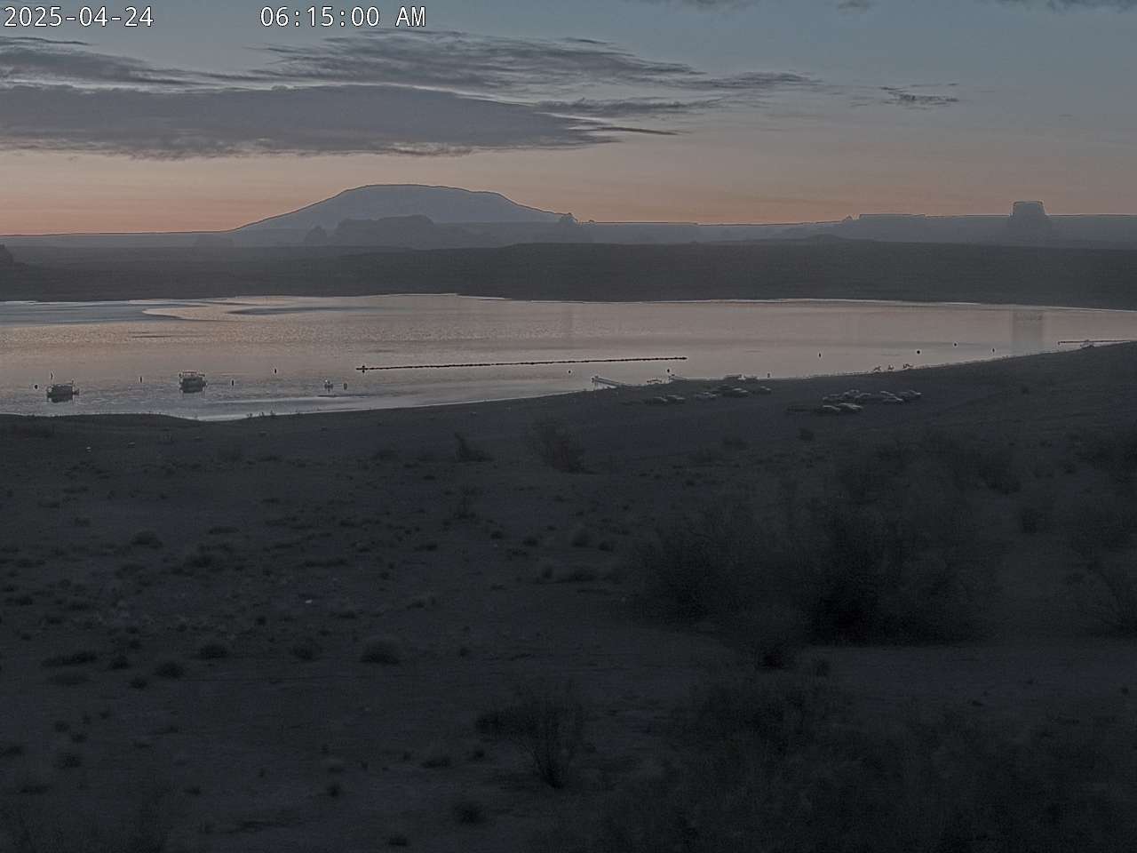
Paria Overlook
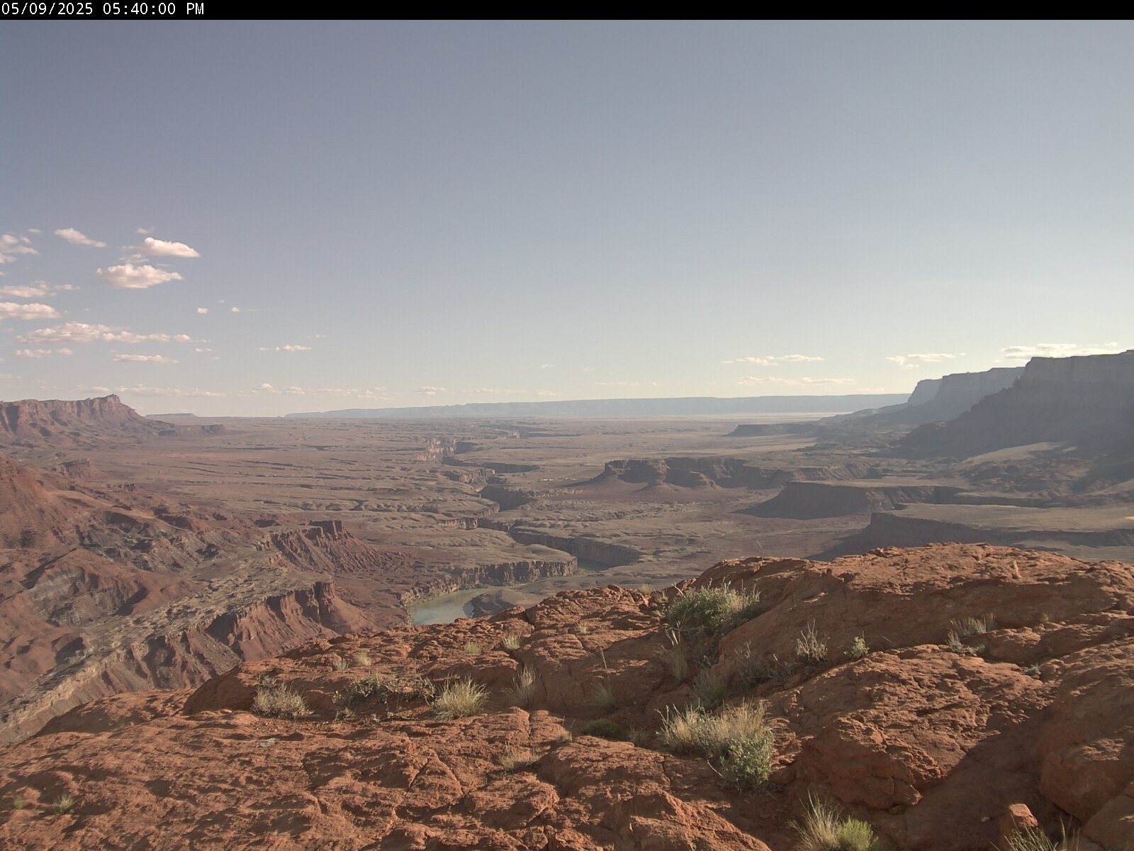
A view from atop the Paria Plateau down towards Lees Ferry launch ramp and historic site, 15 miles downstream from Lake Powell on the Colorado River in northern Arizona. The lip of the cliff covers Lees Ferry itself, but you can see the road leading towards there. The left bank of the river is part of the Navajo Nation and the right back is located in the boundaries of Glen Canyon National recreation Area and Grand Canyon National Park. On a clear day you can see all the way downstream to Navajo Bridge. The image will update every 10 minutes.
Lake Powell was created in 1963 with the creation of the Glen Canyon Dam, and it took 17 years 1980 to fill. In 1869 Civil war veteran Major John Wesley Powell left Green River WY down the Green and Colorado Rivers to map the area. For more about the Parks rich history visit This Link.
The water level changes throughout the year and years. This link provides Water Level Data for Lake Powell.
Ambassador Guides and Captain Bill offers Guided Fishing Trips and produces a free Fishing Report Click Here.